In Place & Time is a library of teaching materials for classroom, distance, or home use focusing on selected topics in American history. You will find traditional written, map, and photo related resources. And, additionally, there are GIS (Geographic Information System) data and activities. All of the materials can be used individually or as a whole to build a unit on each topic in a way that best suits your and your students' needs. There are suggestions in some cases that the materials are well suited to group work or jigsaw type sharing activities. But these are not pre-packaged lessons; rather collections of resources that you can adapt to your style and specific classroom needs.
Many of the materials included are ill suited for use on phones. Some of the text files are quite long. The map activities may require change of scale that can be awkward on a phone. You cannot view 3-D scenes. And, perhaps most importantly, sharing in group situations is poorly served.
The materials found in each unit are largely primary sources. As such, the reading level of individual pieces varies dramatically. Many are well suited for average middle school students; a few will be difficult for the best high school readers. In part, the difficulty lies in the use of arcane eighteenth and nineteenth century language, longer sentences with more complex structure than is commonly used today, and vocabulary that has changed meaning. Encourage the use of an online dictionary when reading. Be selective. In mixed ability classes not all students have to read the same materials, but all can share their understanding of what they have read as part of class discussion. Challenge students. Reading levels improve with practice with more difficult pieces.
GIS assignments are an integral part of the materials in this collection. All GIS activities can be done online using ArcGIS Online, an internet software that runs on most browsers. There is Map Help related to each GIS activity that includes specific instructions for using the various features of the software needed to complete the activity. Computer activities such as the use of GIS that are new to students are best completed in groups of two or three following whole class demonstration. Use of a video projector allows you to talk through specific software procedures and, more importantly, allows you to preview the types of analysis in which students will be involved prior to work in a lab. See In the Classroom: Teaching with GIS for a detailed example.
Each unit includes a For the Teacher page that identifies unit objectives, related national history, social studies, geography, and, in a couple of cases, math standards, references to GIS data sources, and a short bibliography of additional resources.
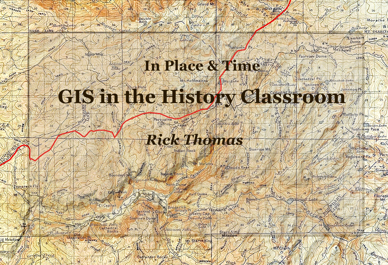
In Place & Time: GIS in the History Classroom is an interactive booklet for middle and secondary history teachers to the use of geographic information system (GIS) software in their classrooms.
Topics include:
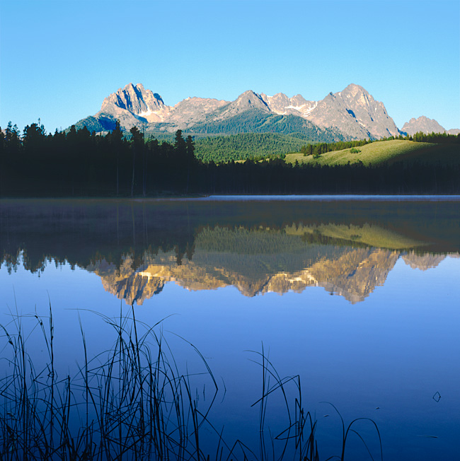
East of the Cascades is an interactive anthology of writings about Oregon east of the Cascade Mountains, both its landscape and the life it promised, taken from sources as varied as the legends of native American settlers to more recent considerations of the human role in the ecology of the state's most wild places. In addition, it is a collection of photographs - contemporary reflections of the landscapes chronicled by the collected authors. As such the anthology can be engaged on two levels: contemporary landscape photography and social history. The landscape of Oregon east of the Cascades is amazingly beautiful and diverse - very easy to enjoy in its own right. And the variety of historical points of view expressed here is as varied and rich as the landscape itself.


