GIS in the History Classroom
Technical Issues - 3-D
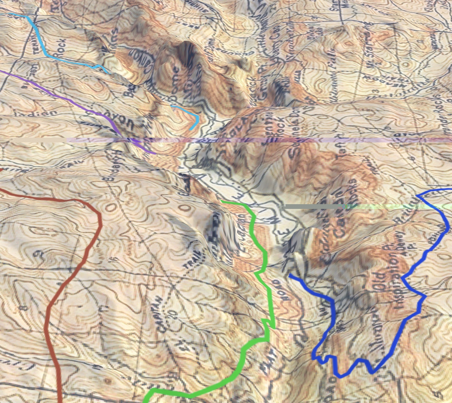
ArcGIS Online provides the ability to create 3-D scenes from the same layers you might use to create a 2-D map. The map scenes you create make it possible to venture through canyons and across mountains experiencing changes in elevation and terrian. The Early Trails of Yosemite map linked below provides an example. The map allows students to explore the early routes of explorers and visitors into Yosemite Valley and gain a more complete sense of the geography involved.
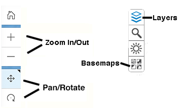
Scene navigation is somewhat different than that in 2-D maps.


