GIS in the History Classroom
Why GIS? - Motivation
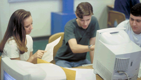
In many ways, the motivational aspects of the use of GIS software are at the heart of the benefits to be derived from its use, particularly in a group situation like that pictured above. GIS activities are both highly enjoyable and motivational. Don’t simply take my word for it, though, or, for that matter, the attention to the project at hand by these students. They are busy preparing a pair of thematic maps to examine and interpret the correlation between the incidence of cancer in Oregon counties down river from the Hanford Nuclear Facility on the Columbia River and an index of exposure to radiation (Downwind: Cancer Correlation).
My own classroom observations are supported by the research of Joseph Kerski (2003):
GIS increased student motivation for geography, altered communication patterns with fellow students and with teachers, stimulated students who learn visually, and reached students who are not traditional learners.
and others (Baker & White, 2003; West, 2003). GIS motivates and is fun for students.


